

Part of a series.
Driving in to California, the check-point sign flashed, “Warning. Road closed. Fire ahead.” An officer at a check point motioned for me to stop.
I was worried. My plan for the day was to take photos of the blackened area from the summer’s immense Carr Fire near Redding before heading to Weaverville. The point of the trip was to visit a rural community that, instead of waiting to fight wildfire once it started, is trying to do something to reduce the threat of wildfire in the first place.
I rolled my window down, and after acknowledging that I wasn’t carrying any out-of-state produce, I asked the attendant if he had any idea how to proceed.
“You’re going to have to take the back way. When you get to Weed, you’ll have to go back north on I-5 and take Highway 3 all the way to Weaverville.”
“But, I am headed down to Redding to drive through the fire zone. I’m a writer, a journalist,” I told the officer at the checkpoint. “I was hoping to take some pictures and check out what it’s like.”
The man seemed annoyed. “That’s not going to happen today. They’re not letting anybody in. Another fire is up and burning. You’ll see when you get down there to the interstate. Have a nice day.”
With that, he waved me down the road.
+++

+++
The map said I should be close to Mt. Shasta at the southern end of the Cascade Range. At more than 14,000 feet, the snowcapped giant should have been easy to spot. But all I saw was smoke. It hung like thin fog a dozen feet from the ground and quickly turned into a dim curtain. What would have been a sunny morning became a hazy orange blur.
I recognized the situation, similar to the previous month throughout the southwest Puget Sound where I live. British Columbia wildfires had blown across the border causing dangerous air-quality throughout Western Washington. Public health agencies had repeatedly advised children, the elderly and people with respiratory conditions to, “stay inside, limit physical activity, close windows.” The California smoke was much thicker than it was back home.
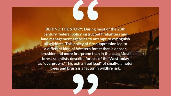
The overall trends in wildfire are clear: They are increasing in size, scope, and severity, according to Kimiko Barrett, who researches wildfire and its impact on the rural West for the nonprofit Headwaters Economics.
+++

+++
“They’re becoming more frequent. They’re getting bigger. They’re lasting longer,” Barrett said. “You have spring coming a little bit earlier. You have fall lasting a little bit longer. And so there isn’t really even technically a wildfire season any [more]. In the Western United States the average season extension is up to about 84 days,” making the fire season nearly year round.
Wildfires are also getting more intense. “Forest fires have grown to the size and the scale of what we’ve seen in California,” she said. She was referring to the Carr Fire, which consumed nearly a quarter million acres in Northern California this summer, months before the Camp Fire, the deadliest in California history, ignited in November.
“They’re actually creating their own weather patterns—like the recent media references to the ‘fire-nado’–changing wind currents because they’re so fierce. That’s a different element in terms of how you can respond and suppress a fire like that, because when it comes to that intensity, it’s not something that’s traditionally approached by firefighter response.”
Along with studying the science of wildfire itself, Barrett has helped rural communities that are trying to better manage the risk of wildfire. She described a three-pronged approach: forest treatment projects, homeowner education, and fire adaptation at the community level. Fire-adapted communities, according to Barrett, use “land use planning strategies, along with designing neighborhoods and communities to anticipate wildfire risk.”
“Concurrently, all three of these strategies can work to reduce community wildfire risk. No one singular approach is going to work, though, because, again, wildfires are increasing in the scope and scale. Wildfire can easily overwhelm any individual firefighting apparatus or homeowner response. So you do need all three to work together.”
That was the point of my trip to the Mt. Shasta region, to document lessons from a rural community that had spent more than a decade building its capacity to reduce the risk of wildfire.
+++

+++
Crossing into the Trinity River Valley, the next valley west, the smoke cleared and the visibility improved. I pulled into Weaverville, a Victorian era mining town of 3,600 residents and the county seat of Trinity County, to meet Nick Goulette.
Goulette is a Weaverville local and is executive director of the Watershed Center, a nonprofit community development organization. A forester by training, Goulette has worked in Trinity County on forest management and wildfire issues since moving to the area in the early 2000s. He wanted to show me the many steps Weaverville and the surrounding community had taken to manage its diverse landscape.
“We have a convergence of many ecosystems here in Trinity County,” Goulette said. “It’s a biodiversity hotspot. Some areas are dominated by Douglas fir and mixed Pacific Northwest conifers. Other areas are a more open oak savanna, and still other places are chaparral shrub lands. Each type of cover within the forest mosaic responds differently to fire.”
Indeed, on the mountainsides surrounding the town there were clear layers of vegetation types that changed with the elevation.
The ecology is different from the wetter temperate rainforest conditions of much of the Pacific Northwest. But the U. S. Forest Service tends to paint the region’s diverse forests with a broad brush. That matters in Weaverville, as much of the town is surrounded by federal land managed by both the Forest Service and Bureau of Land Management (BLM).
+++

+++
“Part of the problem, when it comes to policy, is the way our local forests and federal land is defined by the 1994 Northwest Forest Plan,” Goulette said. “The plan treats the entire Northwest region with the same prescription: if there’s a fire, put it out. That doesn’t work in this ecosystem. We have to deal with wildfire as a fact of life, to treat fire with respect.”
Goulette’s organization also manages a national effort called the Fire Adapted Communities Learning Network, which shares information and best practices for community wildfire risk management.
“One of our guiding questions is how do we manage the forest to get the fire we want? What is the scale of fire we prefer? What are the fire patterns in the landscape we find acceptable? What is the frequency we can live with?”
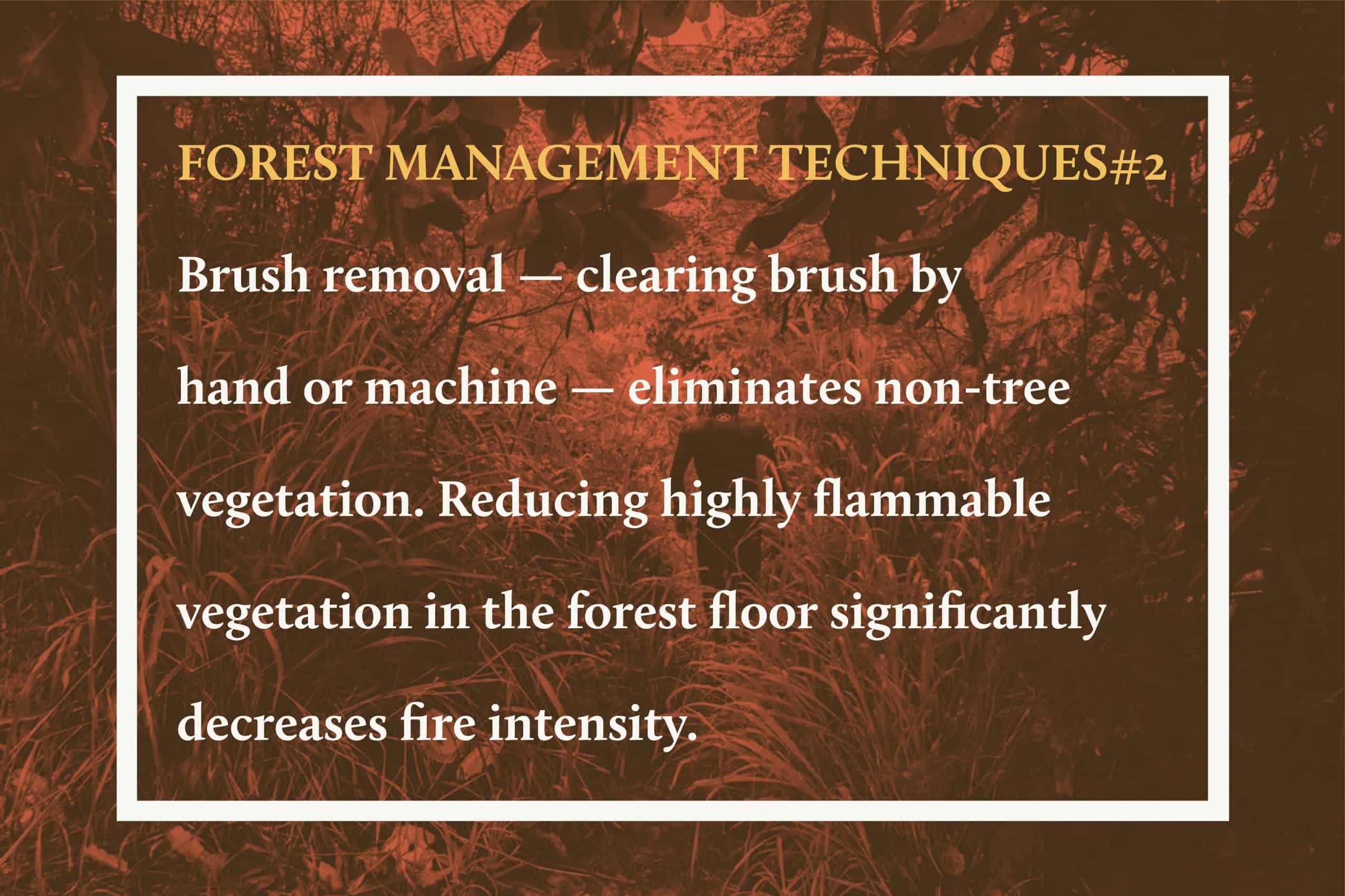
Goulette drove me to a variety of sites around town where his organization had coordinated wildfire risk reduction practices, both on public and private land. “The package of forest management tools for addressing wildfire is numerous, and we work on all of them.”
He explained that homes in the wildland-urban interface (where human structures meet forests and other wildlands) might require increasing the buffer between the house and surrounding wild vegetation, home “hardening” and managing landscaping near homes to minimize risk.
“Fuels management is also critical, whether that be accomplished with mechanical equipment or by hand labor,” Goulette said.
+++

+++
I asked whether fuels management had been successful in preventing the spread of fire.
“That’s exactly where we’re headed,” Goulette said. We parked at a trailhead to the Weaver Basin Trail System, popular among local hikers and bicyclists. The trail system runs throughout the hills that ring the Forest Service land near town.
Goulette took me to a spot where he said all the hard work and years of efforts had paid off. “Last summer (2017), the Oregon 2 fire came rolling through here. It was gaining intensity, building in size, and getting ready to head up the mountainside. When it got to this spot, where we had conducted a variety of management activities, the fire just kind of laid down.”
+++

+++
Without a dense fuel load to maintain its strength and speed as one large unit, the fire had split and peeled off to burn itself out. Though there was some damage, the Oregon 2 fire had been contained due to intentional management.
In other words, it worked.
TOMORROW: Forest-management techniques can reduce the scope of catastrophic “megafires.” And those same techniques could put rural people to work. But the economics of treating overgrown forests can be tricky.
This article was produced with the support of the Solutions Journalism Network.
#solutions
![]()
